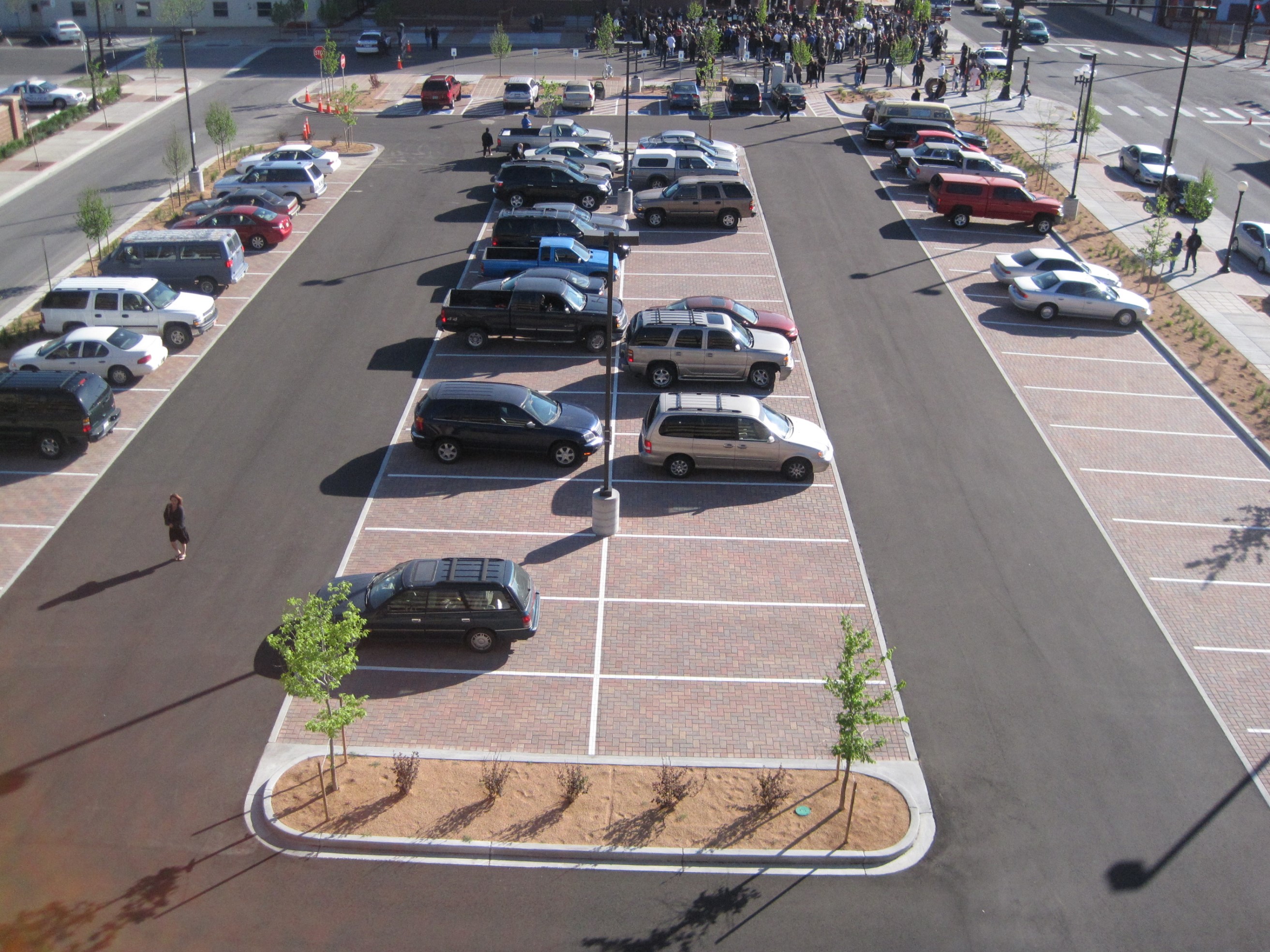
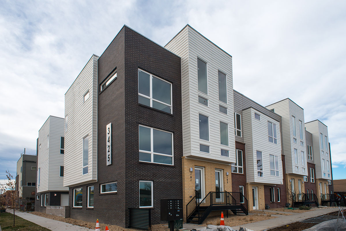
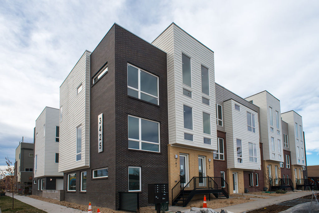
Did you know that ALC is deep in the process of connect the town to the gown of Gunnison and Western State Colorado University? Watch this 15-minute video for more information: Video Presentation
Our New (hopefully more frequent) Blog Series: Snippets
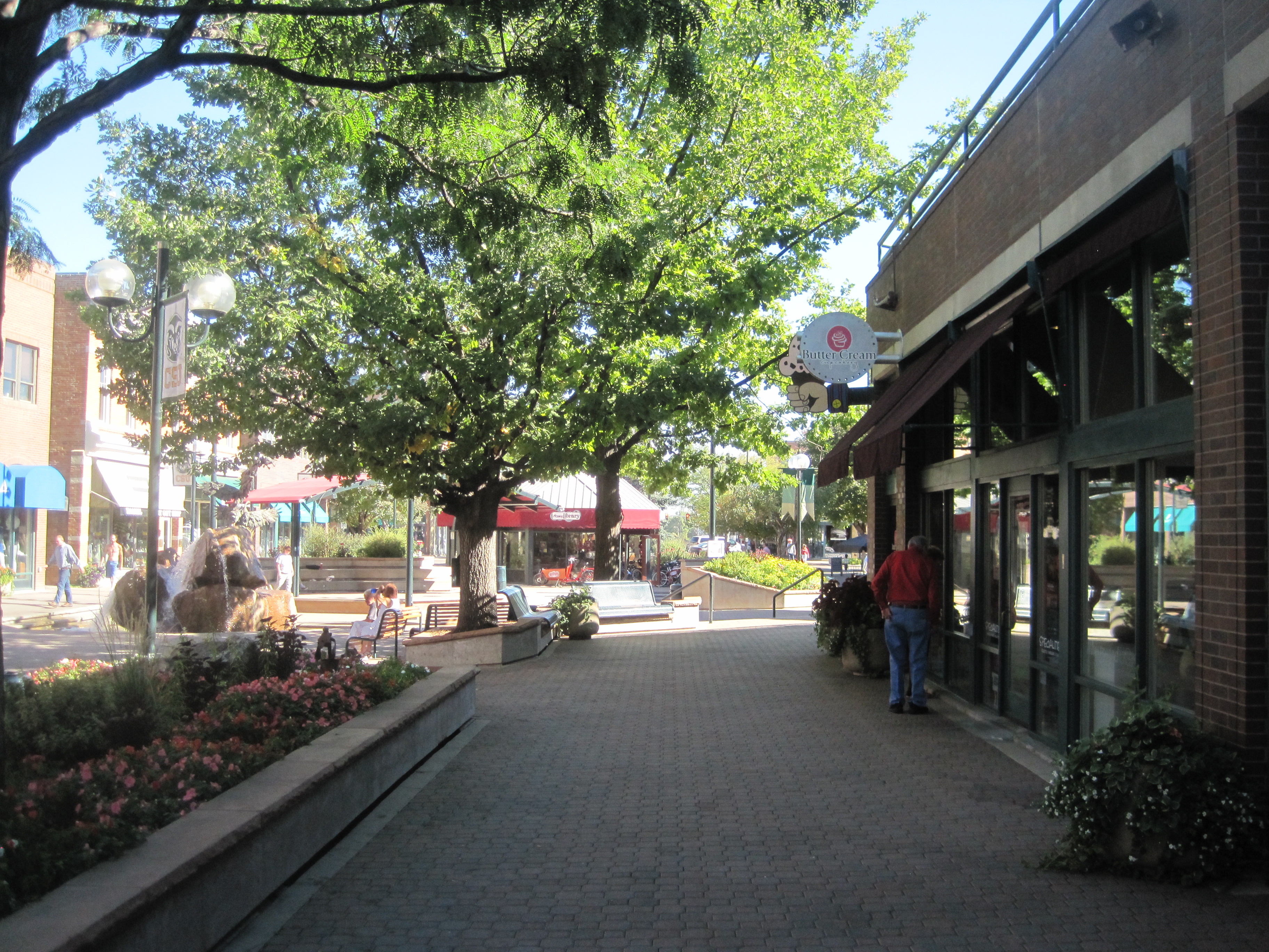
At ALC, we’re working to better communicate what we’ve been up to. Watch for brief snippets in the coming weeks of what we are working on and/or what keeps the engine running. Thank you for your loyal following of our blog!
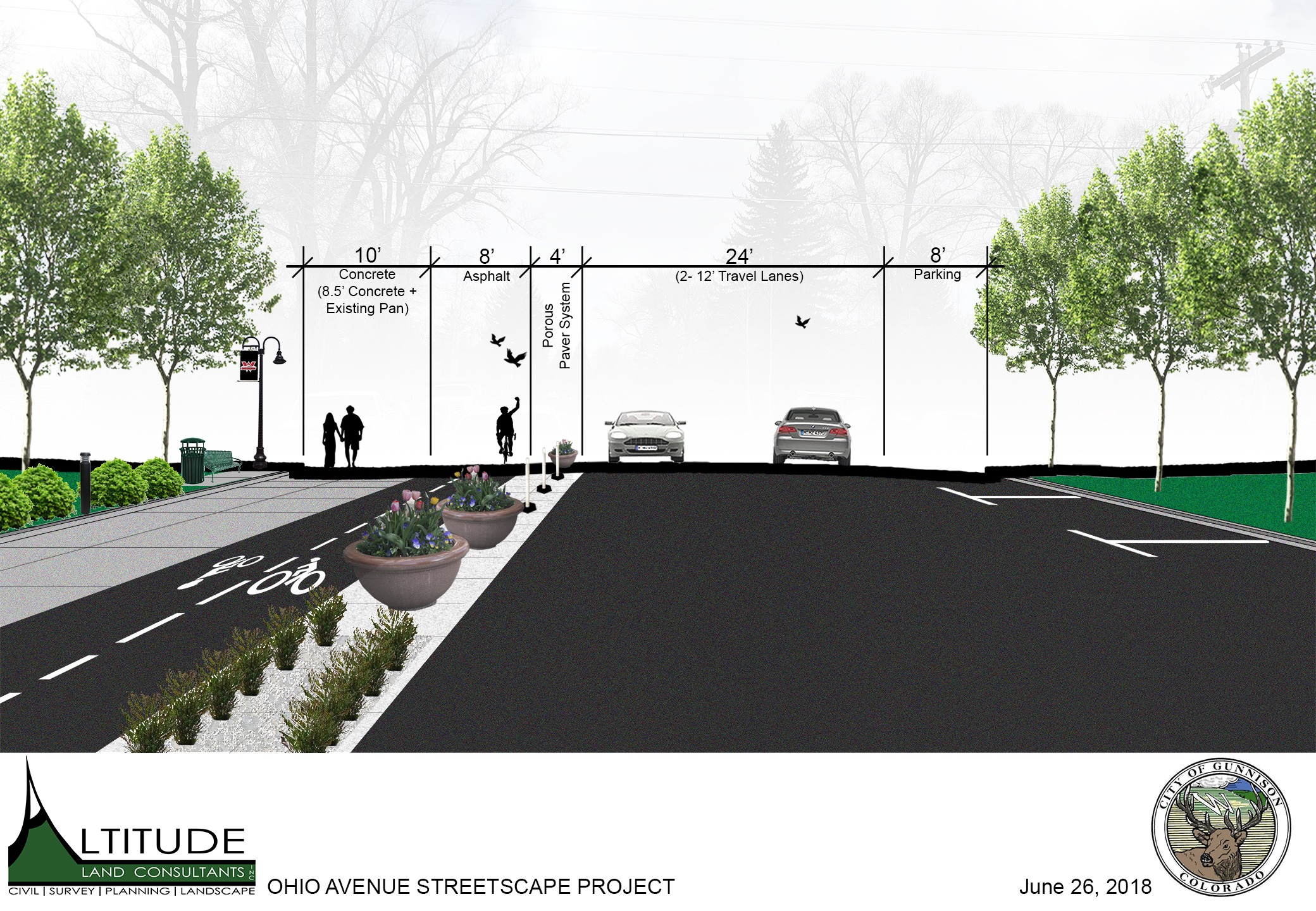
Ohio Avenue Streetscape – Gunnison
As we proceed with the public process for the City of Gunnison and Western State Colorado University, ALC is asking the public to provide input on the street design for Ohio Avenue between the University and Main Street. We would like to ask the community to participate outside the public meetings with the following links:
Street with the 100′ ROW (typical conditions): https://streetmix.net/JO_Urbanist/7/ohio-avenue-existing
Street with the 54′ Distance between curbs (typical conditions): https://streetmix.net/JO_Urbanist/10/ohio-avenue-existing-curb-to-curb
Please publicly share your streetscape designs on Facebook, Twitter and Instagram with the hashtag, #OhioAve AND email them to John and/or Jeff at Altitude Land Consultants.
Instructions for creating a Streetmix:
Step 1. Click on the link for either a 54’ wide street (Ohio Avenue’s existing road width from curb to curb) or the link for 100’ ROW (Right of Way) if you would like to experiment with street configurations for the full City-owned ROW
Step 2. At the bottom of the screen are several options to design your great street. You can click on a design feature and drag to the street level to add an amenity you think would improve Ohio Avenue. If necessary, use the “undo” or “redo” option to make corrections to your design.
*Please note that you do not have to add any new features to the street if you don’t think they would improve Ohio Avenue.
Step 3. To change the design or width of a feature, place cursor on the feature and click the “+” or “-“ symbol to increase or decrease the width of that feature. Some features you might want to experiment with include:
- Sidewalks
- Parking Lanes
- Drive Lanes
- Bike Lanes
- Planting Strips
- Lamps
- Signs
- Benches
Step 4. When finished, click on “Share” at the top right of the screen and “save as an image”. Click the box “Segment names and widths” and “Street name” and save the image to your computer. Then please email the image to jeff@altitudelandco.com
Additional Points to Consider:
- By law, fire truck and emergency vehicle access requires a combined drive lane width of 20’ (ie, 10’ lanes in each direction).
- If you experiment with the 100’ ROW street section, changes outside of the existing 54’ roadway width will likely require removing some (or all) of the existing trees along Ohio Avenue.
- You can create as many street sections as you like. Please don’t feel limited to making just one option!
The State of the Denver Site Development Plan: 2017 Edition
I wrote this article roughly 2 years ago intended as an outline for the Site Development Plan (SDP) process in City of Denver. A client recently asked if the article was still accurate and I realized that it needed some revisions!
Altitude Land Consultants (ALC) has felt the boom of the Denver market. ALC has prepared 80+ Site Development Plans in Denver in the last 5 years alone! My team, one of three at ALC, has 10-15 Site Development Plans tracking at any given time at the City. With that much volume, I have my fingers on the pulse of the City’s constantly moving process and what you can expect as a developer/architect/owner.
So, what can you expect?! The short answer is you can expect approval of your Site Development Plan in roughly 5-6 months from your concept submittal (depending on your project coordinator at the city). Two years ago, I would tell my clients to expect roughly 4 months. It’s bumped out a bit. The volume of submittals alone to the city is pushing out typical review timelines.
What does the process look like?
Step 1: Submit concept plan and application
Your project receives a project number and the City staff will review your intake submittal and schedule a meeting. Additionally, you are assigned a City Project Coordinator based on the location of your project and the staff’s workload. Generally, you will have your concept meeting within 2 weeks of submitting application and expect comments back from the City roughly 2 weeks after that.
I’ve been on several of projects that don’t include the civil engineer in their concept meeting. Here’s my advice: INCLUDE YOUR CIVIL ENGINEER IN THIS PROCESS. Your civil engineer will know many of the questions and follow-up questions to ask the reviewers in that meeting. This will help avoid issues in your concept submittal. Additionally, I recommend having a civil engineer look at your concept site plan to ensure there’s no obvious issues.
Your concept comments from this meeting should be used as the framework for your first Site Development Plan submittal. The reviewers will advise what supplemental processes are required as well.
Step 2: Submit SDP
City of Denver will clear you to go to Site Development Plan once all conceptual level Concept Plan comments are cleared. The Site Development Plan process can take a couple of different directions. Based on the comments received in Concept, you will know what your Site Development Plan process will look like. At this point, I highly recommend deciding who will ‘quarterback’ the submittal process with the City. I tend to recommend myself as the quarterback and do the task without additional fee. I just find things go more smoothly if I’m able to act as the conductor on the Site Development Plan side of things.
The first, and always, required portion is the Site Development Plan itself. This is a construction level set of drawings that show detailed site grading, utilities, layout, drainage, photometric, architectural elevations/floorplans and landscape as well as a Survey sheet which must be prepared and stamped by a Colorado Licensed Land Surveyor (REMINDER: Altitude Land Consultants offers civil, landscape, photometric and surveying). In addition to the Site Development Plans, there are 6 others potential plans/processes that might accompany it: Sewer-Use and Drainage Permit, Transportation Engineering Plan (TEP), Wastewater Construction Drawings (SSPR), Stormwater Construction Drawings, Denver Water Review, and/or Storm Water Management Plan.
Sewer-Use and Drainage Permit (SUDP):
An SUDP is required with all new building construction for EACH building. An SUDP is required on all Site Development Plan submittal. This process runs concurrently with your SDP review. This permit is obtained from the City’s Wastewater Department. These permits are typically obtained within an 8 week period if SSPR is not required. It can run quicker and can greatly vary on which SUDP reviewer you are assigned. The SUDP set must be prepared by a licensed engineer and include site layout, addressing, grading, utility design and any calculations associated with the design. If you are proposing a finished floor elevation less than 24” above adjacent flow line, you will also be required to provide a flood study.
As the developer, you should also be aware that you will need a geotechnical report to submit with these plans along with the plumbing plans for the building. The city will NOT accept your SUDP submittal without SUDP Plans, Geotechnical Report (dated within the last 6 months) and FOR CONSTRUCTION plumbing plans/footprints with fixtures. Additionally, you are required to cut-off any existing sanitary sewer lines to buildings to be demolished prior to issuance of permit/approval. Also, the fees can be significantly costs ranging from $15,000 to $40,000 (and even higher) per building depending on the project’s sanitary sewer tap size and demand.
Additionally, you will need to submit a fixture count spreadsheet to Denver Water to get your domestic tap size required. You will get a stamped copy of your utility plan from Denver Water and include that plan in your submittal to SUDP as well. This is not required for intake, but it is proactive to provide if possible.
Transportation Engineering Plans (TEP):
The TEP is another one of the most common requirements when doing an infill project in Denver. As part of your construction, you will be required to replace any adjacent, damaged infrastructure such as sidewalk, curb, and alleyway. It’s quite common to be required to remove and replace adjacent alleyway and this will trigger a TEP process and review by the City’s Transportation department. Transportation will also review all ADA ramps located adjacent to your site. The TEP process runs concurrently with your Site Development Plan review and typically takes 8 weeks to receive approval.
Wastewater Construction Drawings (SSPR):
The wastewater construction plans must be approved by Denver Wastewater Department. These plans become a requirement when doing any proposed public/private sewer mains as well as any major sanitary sewer items (i.e. pump stations). As the developer, you are allowed one sanitary sewer service header per building without triggering this requirement. The plans generally include all site, grading, utility layout and include plan and profiles of the proposed sanitary line.
Stormwater Construction Drawings:
This is like the wastewater construction plans but for Stormwater design. This design is reviewed by the Wastewater Department. The deliverables on this process consist of a set of stormwater design plans as well as a drainage report and calculations. You will need to meet all the requirements of the Denver Stormwater Triage checklist. This checklist can be found in the Storm Drainage Design & Technical Criteria Manual. These plans become a requirement if your project contains a detention facility, water quality, storm infrastructure, or any other major stormwater infrastructure.
Denver Water Review:
Denver Water won’t make comments or review your conceptual plans. This can be frustrating if you are a new developer and it’s one of the common mistakes I see new developers make. They will go through the Site Development Plan process not realizing they needed Denver Water approval on a portion of their project through separate process. Generally, Denver Water plans will be required if you are doing a water main extension or providing a dedicated fire line to your building. If you are pulling your sprinkler off a domestic line, Denver Water is not involved at this time.
Denver Water will require a set of plans to their standards along with demand calculations for any fire line or main you will be constructing. This can create issues on fire lines since many times those are completed design-build during construction by the fire line consultant. In these cases, I recommend my client reach out to their fire line consultant to get an estimate for the demand and size based on their experience. Many times that will be enough for first submittal and can be amended once the system is fully designed.
Denver Water process also has a review fee and inspection fee associated with it. These are generally around $1200 together. On top of that, the developer will have to pay tap fees associated with the domestic tap per Denver Water rates. Dedicated fire lines do not have a tap fee associated with them.
You do not need Denver Water approval for your SDP approval, so many times this can be the ‘last horse’ to cross the finish line in your process. You just can’t start any of your water improvements until approval is completed.
Storm Water Management Plan (SWMP):
A SWMP is required in Denver if you disturb over an acre of land in your development. Let me clarify that this is NOT a catch-all rule. I’ve seen sites smaller than an acre get forced into a SWMP due to being “High Risk”. These sites found asbestos while excavating and were, therefore, required. The SWMP deliverables are a narrative and erosion control set of plans. This will be the plan in which your contractor shall follow to ensure that no downstream properties are polluted by your development. A SWMP is sometimes called a Stormwater Pollution Prevention Plan (SWPPP) in other jurisdictions. City of Denver will review your SWMP for completeness and sometimes provide comments.
There are many times a number of deliverables required by the City of Denver on any new construction. One of the most important things you can do as a new developer is to find a design team who you can trust and knows the jurisdiction. In the City of Denver, ALC is a trusted design team to dozens of both seasoned and not-so-seasoned multifamily developers and architects who expect a smooth process through City of Denver’s Site Development Plan requirements. Our project managers have worked with every project coordinator/reviewer at the City and have the experience to get approval as quickly as possible.
Altitude Land Consultant has all the teams in-house to get you through Site Development Plan (except for architecture). We will help you navigate this process with greater ease, eliminate costly mistakes and loss of time during the most vulnerable phase of your project.
Highlights from the Congress for the New Urbanism – Seattle #cnu25
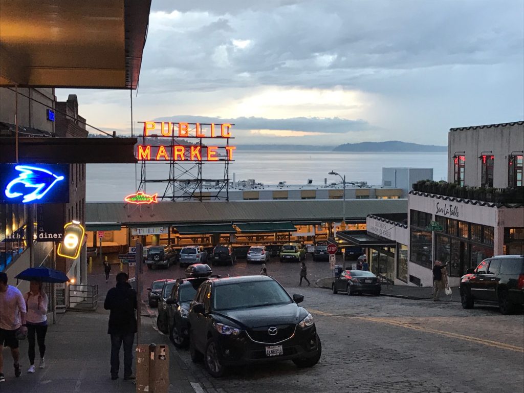 I am currently wrapping up my fifth CNU, this year in Seattle. The Congresses are always fascinating to me, but dissimilar to most non-CNU conferences. Sure the CNU is packed with sessions in conference rooms along with tours, but the takeaway is really in the conversations that you have with others passionate to see their communities improve. These happened in the hallways, streets, bars, etc. not necessarily in the lectures.
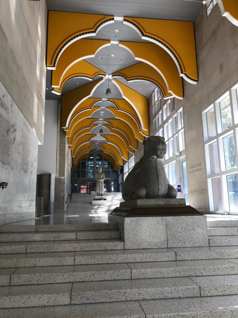
It’s not the Kumbaya session that may be envisioned, at least when the Congress is good, it’s not.
Some of my highlights from this year’s Congress:
Strong Towns Live Debate
Last night’s debate, as can be seen in the photo, featured a question that has always bothered me. Are New Urbanism and Smart Growth the same thing? The discussion was fantastic, starting with the comparison of Merlot and French Bordeaux. The argument was that both smell, look and taste the same although they are called something different. However, neither of which can be mistaken with Bud Light.
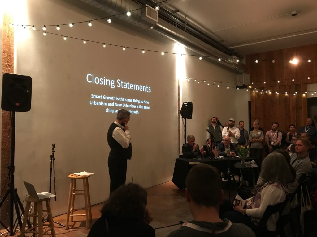
Some New Urbanists, albeit those that were indeed the first to pave the way for “Smart Growth” today, maintain that there is a significant difference. However, as it was pointed out, there is no reason to argue with the Smart Growth membership. We are all after the same goals of creating healthy communities for people.
Majora Carter and Doug Farr
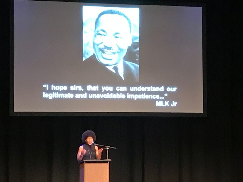
Leading off the conversation, Majora Carter discussed the difficult conversations regarding gentrification, racial divides and a component of the original Charter of the New Urbanism. She discussed the ways that her neighborhood is building community and “self-gentrifying” before they are gentrified by others. It was a very good discussion that hopefully opened a lot of people’s minds of the impacts that are happening in neighborhoods across the country.
People didn’t want to leave their neighborhood to live in a ‘better community’ – Majora Carter @majoracarter
Following Majora’s talk was Doug Farr, Author of Sustainable Urbanism, where he discussed the sobering discussion of Climate Change as well as a wonderful timeline for our culture’s auto-dependence. The chart, below, shows when CIAM came into place, as well as when CNU was formed to counter the auto-centric lifestyle from LeCorbusier.
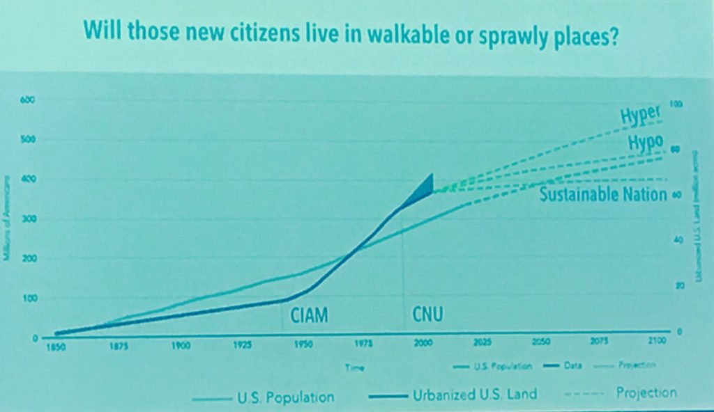
In addition these statistics, Mr. Farr also emphasized the need for at least a walkable option in our country pointing out US budgets toward defense vs the effects of obesity.
We spend on obesity, what we spend on defense. – Doug Farr @dougfarrchicago
Also pointing out the discrepancy in how we design our streets per fire department mandates when…
Deaths attributable to those who die of inactivity are 30-80 times more than those caused by fire. – Doug Farr @dougfarrchicago
These are real issues that need discussing. When we make a choice for one problem, we often create several others. The health of people is much more difficult to quantify and see when compared to an impact of a fire. Fires are instant killers, whereas obesity-related deaths are silent and deterioration of health happens over time.
Want to hear more? I’m happy to discuss further individually with you, however it may cost you a coffee or beer. 😉 Cheers from Seattle!
Why I Bike…
 I have always loved bicycling; the feel of the wind rushing past, the feeling of using your own strength to gather speed, the connection between you and your path. Going to high school in Capitol Hill there wasn’t much need for a car. I walked just about everywhere and took the bus when I couldn’t. Moving to Boulder the trend continued. Crisscrossed with bike lanes and bike paths along the creeks, it made sense to simply bike where I needed to go. I bought my first bicycle as an adult and fell in love. It gave me the convenience of a personal vehicle rolled into the exhilaration of the ride.
It gave me the convenience of a personal vehicle rolled into the exhilaration of the ride.
Moving back to Denver after college, it never occurred to me to buy a car. My habit of biking where I needed to go just made sense. It was much cheaper than a car, more environmentally sound, and I was keeping fit just by going where I needed to be. Now I bike just over five miles each morning to get to the ALC office in Denver. It gives me time to get the blood flowing, get my mind thinking, and start every day with a little bit of joy. I also get a personal view of the places I go. Biking allows me to really see the communities I ride through; to get lost and discover new places. It gives me a first-hand look at how people approach transportation and connects me to changes across the city. The new bikes lanes showing up across Denver show me a deeper awareness for a more holistic and encompassing view towards transportation.
All the environmental and cultural benefits aside, at the end of the day I just love hopping on my bike, the breeze in my face, and pedaling home.
Author’s Bio: Elizabeth Jones
What type of Survey do you need?
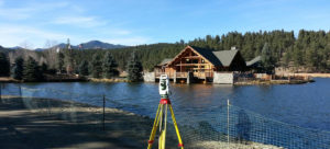 Confusion often arises about the type of survey that is necessary. Unless you are creating the surveys, this can be a confusing topic. We’ll try to clear it up for you.
IMPROVEMENT LOCATION CERTIFICATE (ILC) – Basic drawing that shows general location of existing improvements relative to property boundary, however, this is not a boundary survey . Depending on size of lot, size of structure(s), existing property corner evidence. Turn around in 48 hours – most completed within 24 hours.
An ILC is not a boundary survey and is essentially the simplest form of a survey that can be provided for a property. Although an ILC does show existing improvements on the subject site, it should not relied upon for establishing fence lines, setbacks, building envelopes, etc.
LAND SURVEY PLAT (LSP) – Also known as a boundary survey. Utilized to determine boundary lines and corners, determine encroachments, and/or construct new improvements on your property, etc.
IMPROVEMENT SURVEY PLAT (ISP) – Basically an LSP with some additional information regarding existing observable improvements such as streets, curb & gutter, sidewalks, dry utilities, wet utilities, etc. Can also include easements of record and topography if the client so desires. Utilized for more extensive proposed improvements and as a base for design services.
ALTA / ACSM SURVEY – Pretty much a cafeteria style survey where the client can pick items from an Optional Table A and create his own survey for specific purposes. The base required portion of any ALTA definitely meets the requirements of an LSP and includes some of the elements of an ISP and includes record Title research of easements and encumbrances to the property. Table A consists of 16 additional options that can be shown depending the goals of the project, requirements of the lender, etc.
As always, with additional questions, please contact Karl Franklin in our office. Karl@AltitudeLandCo.com
Pueblo Landscape Standards

In 2007, the State of Colorado signed a bill requiring a landscape architect’s stamp for development projects, which most municipalities, including Pueblo, have added to their ordinance.
Pueblo’s landscape performance standards can be found in the Pueblo Zoning Code in Sec. 17-4-7 (Landscape Performance Standards).
The standards set forth in Sec. 17-4-7 are applicable in the following zone districts: R-4, R-5, R-6, RCN, B-1, B-2, B-3, B-4, BP, PUD, H-B, I-1, I-2, O-1, CCN, S-1, S-4 and S-5. They are applicable for the following conditions:
1. New construction on any lot or placement of a structure on any lot
2. An addition of 35% of more of the gross square footage of an existing building
3. Use of 5,000 square feet or more for a contiguous off-street parking lot (not applicable if it is an improvement of parking lot that has been in use since before June 22, 1998).
Tree Spacing in Setback: ONE Tree AND FIVE Shrubs shall be provided for every THIRTY-linear-feet of frontage. Setback must be a minimum of 10-feet in width. 50% of the shade trees must be either evergreen trees or ornamental trees.

Parking Lot Landscape Islands: A parking lot landscape island must be provided on the end of each bay of parking when FIVE or more regular parking spaces are included. Additionally, there shall be no more than FIFTEEN consecutive parking spaces (including head-to-head parking spaces, see sketch) without a landscape island. Islands must be a minimum of 9-feet in width and 18-feet in length (measured from the face of curb) and include at least ONE tree and FIVE shrubs.
Parking Lot and Drive-Through Screening: In addition to the frontage requirements, screening must be attained by the use of shrubs with a minimum height of 3-feet, a berm that measures 3-feet higher than the parking lot elevation, or an opaque structure(wall/fence) that is 3-feet in height placed at the setback.
Landscape Buffers (Between Residential and Non-Residential Land Uses): Buffer shall be at least 10-feet in width with at leastONE tree for every TWENTY-linear-feet AND an opaque fence or structure at least 6-feet in height.
The aforementioned standards are the key standards in Pueblo’s code. There are many other codes and standards applicable to the City of Pueblo, but understanding the standards above will assist the landscape architect in understanding the needs of a project in Pueblo. For the official codes from the City of Pueblo, please use the following link: Pueblo Landscape Standards
City of Denver Site Development Plan Process
If you live in Denver or have driven through it recently, you probably are more than aware that multi-family development is BOOMING in the City of Denver. I will use the word “multi-family” to define any apartment, townhome, or condo development. If the current City of Denver forecast is anything close to reality, this boom is here to stay for the next 5+ years.
This environment is making profitable opportunities for not just the big developers but also many first time developers. This article is written more towards the developers (or potential developers) who want to start developing in Denver but have little or no experience in the City. Even the most seasoned developers can find frustration in the City of Denver development process that is associated with these projects. It’s immensely important to ensure your Civil Engineer (and design team) has the knowledge and experience to anticipate most of the things Denver will throw at you in the process.
The Denver development process generally consists of the following steps:
Step 1: Concept Plan
Concept Plan is the precursor to your formal site plan submittal. This is the City’s way of filtering out projects that have no chance of succeeding before the owner spends unnecessary money. This process will require a relatively basic level site drawings and elevations (at a minimum). Many times the city will require more detail if you trigger one of their other requirements. For example, if your lot is over 0.5 acres disturbed (not just in size), you will also need to include a drainage plan showing preliminary detention calculations. There’s several other items that can come up which might also require a preliminary utility plan.
I always recommend to my clients that we bring in a preliminary grading, utility and drainage plan along with preliminary architectural elevations to ensure we rout out all potential issues that the City might have. You will then attend a “Concept Plan Meeting” at City of Denver’s Webb Building downtown. Denver will assign you a planner to review your project and shepherd you through the process. The “Concept Plan Meeting” will have representatives from Denver’s review agencies: Fire, Zoning, Wastewater, Survey and Planning.
These agencies will provide you with approval or denial based on the materials and design you provide to the City. These comments will range from minor clarifications to complete deal killers. If you are denied on a minor clarification, we will just update the plans and re-submit. Assuming you’ve addressed all the conceptual concerns, its time to go to Site Development Plan.
Step 2: Site Development Plan
City of Denver will clear you to go to Site Development Plan once all conceptual level Concept Plan comments are cleared. The Site Development Plan process can take a couple of different directions. Based on the comments received in Concept, you will know what your Site Development Plan process will look like.
There are several other potential plans that you will need to get approved in this step. The first, and always, required portion is the Site Development Plan itself. This is a construction level set of drawings that show detailed site grading, utilities, layout, drainage, and landscape as well as a Survey sheet which must be prepared and stamped by a Colorado Licensed Land Surveyor (REMINDER: Altitude Land Consultants offers civil, landscape and surveying). In addition to the Site Development Plans, there are 6 others plans/processes that might accompany it: , Sewer-Use and Drainage Permit, Transportation Engineering Plan (TEP), Wastewater Construction Drawings (SSPR), Stormwater Construction Drawings, Denver Water Review, and/or Storm Water Management Plan.
Sewer-Use and Drainage Permit (SUDP):
An SUDP is required with all new building construction for EACH building. These permits are obtained from the City’s Wastewater Department. Generally speaking, these permits are quickly obtained within a 4-6 week period if SSPR is not required. The SUDP set must be prepared by a licensed engineer and include site layout, addressing, grading, utility design and any calculations associated with the design. As the developer, you should also be aware that you will need a geotechnical report to submit with these plans along with the plumbing plans for the building. Additionally, you are required to cut-off any existing sanitary sewer lines to buildings to be demolished prior to issuance of permit/approval. Also, the fees can be significantly costs ranging from $15,000 to $40,000 (and even higher) per building depending on the project’s sanitary sewer tap size and demand.
Transportation Engineering Plans (TEP):
The TEP is another one of the most common requirements when doing an infill project in Denver. As part of your construction, you will be required to replace any adjacent, damaged infrastructure such as sidewalk, curb, and alleyway. It’s quite common to be required to remove and replace adjacent alleyway and this will trigger a TEP process and review by the City’s Transportation department.
Wastewater Construction Drawings (SSPR):
The wastewater construction plans must be approved by Denver Wastewater Department. These plans become a requirement when doing any proposed public/private sewer mains as well as any major sanitary sewer items (i.e. pump stations). As the developer, you are allowed one sanitary sewer service header per building without triggering this requirement. The plans generally include all site, grading, utility layout and include plan and profiles of the proposed sanitary line.
Stormwater Construction Drawings:
This is very similar to the wastewater construction plans but this is for storm water design. This design is reviewed by the Wastewater Department. The deliverables on this process consist of a set of stormwater design plans as well as a drainage report. You will need to meet all the requirements of the Denver Stormwater Triage checklist. This checklist can be found in the Storm Drainage Design & Technical Criteria Manual. These plans become a requirement if your project contains a detention facility, storm infrastructure, or any other major stormwater infrastructure.
Denver Water Review:
Generally speaking, Denver Water won’t make comments or review your conceptual plans. It’s frustrating but the way things are currently. I generally recommend to my clients to have a separate sit down in the concept phase with Denver Water if there is anything proposed beyond water services on-site. Denver will require a set of plans to be reviewed if your project needs any of the following: Public Water Main Extension, Fire Hydrant Installation, Fire sprinklers or any other major water infrastructure installation. The Denver Water review can be a lengthy process depending on what you are proposing to install, so its smart to get on this process right away if its required.
Storm Water Management Plan (SWMP):
A SWMP is required in Denver if you disturb over an acre of land in your development. Let me clarify that this is NOT a catch-all rule. I’ve seen sites smaller than an acre get forced into a SWMP due to being “High Risk”. These sites found asbestos while excavating and were, therefore, required. The SWMP deliverables are a narrative and erosion control set of plans. This will be the plan in which your contractor shall follow to ensure that no downstream properties are polluted by your development. A SWMP is sometimes called a Stormwater Pollution Prevention Plan (SWPPP) in other jurisdictions. City of Denver will review your SWMP for completeness and sometimes provide comments.
There can be a large amount of deliverables required by the City of Denver depending on your job. One of the most important things you can do as a new developer is to find a design team who you can trust and knows the jurisdiction you are developing in. In the City of Denver, ALC is a trusted design team to dozens of both seasoned and not-so-seasoned multifamily developers who expect a smooth process through City of Denver’s SDP requirements. Our project managers have worked with every project coordinator at the City and have the experience to get approval as quickly as possible.
Altitude Land Consultants help you navigate this process with greater ease, eliminate costly mistakes and loss of time.
Jefferson County Colorado Driveway Requirements
by: Eric Burtzlaff, PE
If you are planning to build a private home in Jefferson County, Colorado, I’m sure you have more than a few questions regarding the process. Approval from Jefferson County’s Planning and Zoning Department can be a taxing exercise for even the most seasoned engineers.
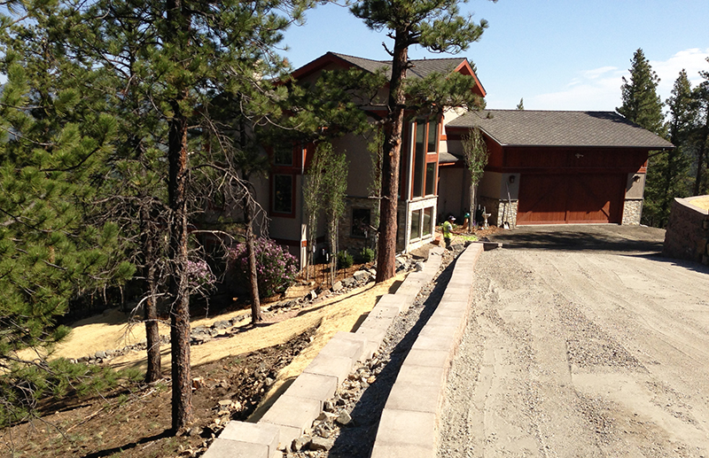
In my experience, one of the most important aspects from the Jefferson County’s perspective is your driveway design. The Jefferson County Standards on your driveway will push much of the location of your home, as well as the safety of egress and ingress in the slippery winter months. With that in mind, this article will discuss the Standards on your driveway from Jefferson County and elaborate on exactly why these requirements exist.
The driveway standards are as follows:
Rules of Thumb: Maximum of 10% slope (12% if south aspect); 14-ft width (10-ft paved)
A private driveway in Jefferson County may not be steeper than 10% grade or 10:1. This restraint is in place to avoid creating a slip and slide or unpassable driveway during the Colorado winter.
There is an exception in place for this standard. If your proposed driveway is naturally a southern facing driveway, you are allowed to go up to 12% grade. This is due to the your driveway receiving ample sun exposure and theoretically a faster ice melt. This standard also exists to allow safe travel of your driveway for any emergency vehicle which might need to get your residence.
Your driveway is required to be 14 feet wide throughout the entirety of the drive. The county requires a minimum 10′ all-weather travel surface as well as minimum 2′ shoulders on each side of the drive. You might think that this standard exists solely to allow two cars pass one another on your driveway. However, this standard is actually driven by fire safety. This is the minimum width for a fire truck (or other emergency vehicle) to access your home via your driveway.
The all-weather surface that this standard refers to can be gravel, asphalt, concrete or any other material you can manage to convince the fire department will hold the weight of their trucks.
Your driveway must also not have any radii less than 30′ at the centerline of your driveway.
This again is driven mostly by fire code. A fire truck is going to have a really hard time making any turn tighter than this standard. Also, this standard exists to prevent obscene hairpin turns on Jefferson County driveways. In the winter, such hairpin turns can spell real disaster when your truck start sliding down your drive.
There are a few exceptions to the rules. Firstly, if your driveway is under 50′ in length, none of these rules apply! Secondly, if your driveway is over 150′ in length, you are required to install a firetruck hammerhead (or turnaround) every 150′ of your drive. This allows the emergency vehicle that’s coming to your home to turn around if necessary.
I know my clients tend to get frustrated when I explain that their driveway won’t work the way they envisioned per the Jefferson County code. Just remember that these standards are really in place for your safety whether that be your winter safety or your safety in the event of a fire (or other emergency). You’ll be happy you followed these standards if you ever do come face-to-face with such an event.
Please see Jefferson County Roadway Design & Construction Manual, Section 3.7.8 to see these standards as written by Jefferson County.
Download
